Drone Reality Capture for BIM (Building Information Modeling)

Collect accurate information of your assets for Building Information Modeling (BIM) processes with efficient and precise data capture.

Available across Canada as part of our drone surveying and mapping services. RTK-equipped aircraft, georeferenced deliverables within 48–72 hours.

Painpoints

Advantages

Get A Quote

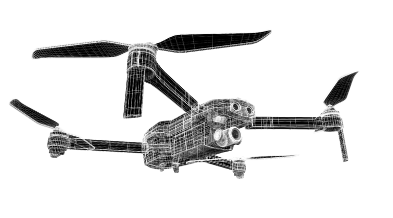
DROCITY drone in flight — drone services across Canada

LOOKING FOR A DRONE INSPECTION?

please fill out the form below …

"*" indicates required fields
1Requirements
2Your Info