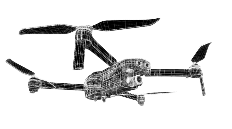
Drone 3D Documentation for Heritage Preservation
Create accurate digital reconstructions of historical sites to optimize research and preservation efforts.
Available across Canada as part of our drone surveying and mapping services. RTK-equipped aircraft, georeferenced deliverables within 48–72 hours.
Painpoints
- Absence of Visualized 3D Models for Protective References and Historical Records.
- Time-Intensive Ground Measurements and Elevated Personnel Risks.
Advantages
- Generate accurate 2D and 3D models of the historical to properly plan conservation efforts and research purposes.
- Optimize on-site collection methods with drone-based data capture.
Get A Quote
LOOKING FOR A DRONE INSPECTION?
please fill out the form below …
"*" indicates required fields