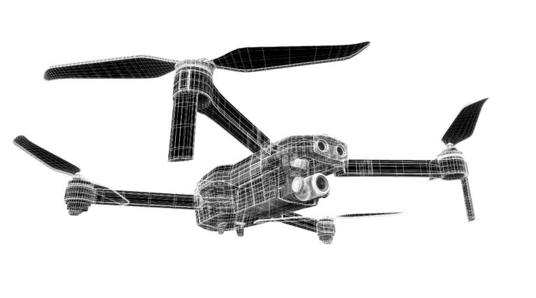
Land Survey
Quickly generate accurate 2D and 3D models. Cover more ground, improve safety, and reduce costs.
Painpoints
- Field work is slow and inefficient using traditional surveying methods, increasing operational costs and on-site time requirements.
- Traditional Surveying outputs lack visual references or low resolution, leading to a limited perspective of the landscape.
- Collecting usable data in complex and remote areas is difficult and hazardous.
- Frequently tracking landscape changes is inefficient with traditional methods.
Advantages
- Significantly reduce costs and save time by using affordable UAS solutions that automate data collection and processing.
- Visualize results with accurate, high-resolution maps, Point Clouds, and 3D models.
- Reduce personnel risk in hazardous environments with switly aerial data collection.
- Keep digital records that can be easily used for regular land cover comparisons, so teams can more easily and dynamically monitor changes.
Get A Quote

LOOKING FOR A DRONE INSPECTION?
please fill out the form below …
"*" indicates required fields
