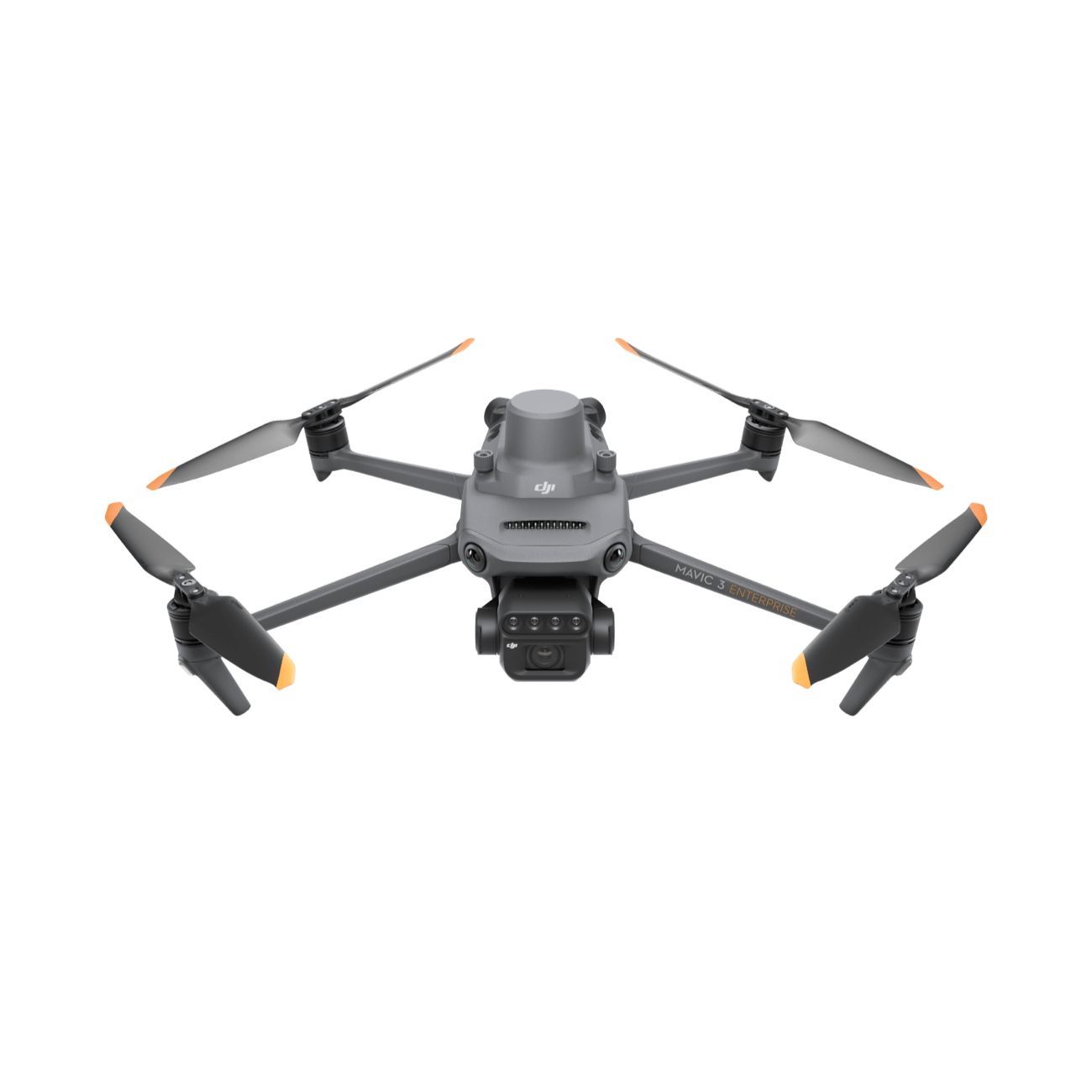
DJI Mavic 3M
Effective aerial surveying requires the ability to see what’s normally invisible. The DJI Mavic 3 Multispectral (Mavic 3M) achieves this by combining an RGB camera with a multispectral camera, enabling detailed crop growth assessment and precise monitoring. Designed for precision and data-driven agriculture, the Mavic 3M provides accurate insights essential for managing crops efficiently and optimizing yields.
Multispectral and RGB Imaging System – DJI Mavic 3M
The DJI Mavic 3M features a fully integrated imaging system that combines five different imaging sensors in one compact, foldable package. The drone has a main RGB camera that is powered by a 20MP 4/3 CMOS sensor similar to the one found on the DJI Mavic 3E. The multispectral imaging is handled by a set of 4 individual 5MP sensors that capture the following types of imagery:
The Mavic 3M features a multispectral camera with the following bands:
Near-Infrared (NIR): 860 nm ± 26 nm
Red Edge (RE): 730 nm ± 16 nm
Red (R): 650 nm ± 16 nm
Green (G): 560 nm ± 16 nm
Its RGB camera boasts a high dynamic range and excellent low-light performance thanks to a 4/3 CMOS sensor with large individual pixels. Equipped with a mechanical shutter, it can capture images at up to 1/2000 sec shutter speed and supports high-speed burst shooting with a 0.7-second interval, ensuring precise and detailed image capture for agricultural analysis.
Sunlight Sensor – DJI Mavic 3M
The built-in sunlight sensor records solar irradiance for each image, enabling precise light adjustment during 2D reconstruction. This improves the accuracy of NDVI analysis and ensures consistent, high-quality data collection over time, supporting more reliable agricultural monitoring and decision-making.
Centimeter-Level Accuracy – DJI Mavic 3M
The Mavic 3M can be paired with an RTK module to achieve centimeter-level positioning accuracy. Flight control, the camera, and the RTK module synchronize in microseconds, precisely determining the location of each image’s center. This enables highly accurate aerial surveying without the need for ground control points, streamlining data collection and enhancing efficiency in agricultural and mapping applications.
Efficiency and Reliability – DJI Mavic 3M
Thanks to efficient propulsion and advanced battery management, the Mavic 3M can achieve up to 43 minutes of flight per fully charged battery, covering extensive areas with ease. When paired with the 100W fast-charging hub, the drone can be quickly recharged and ready for flight, minimizing downtime.
O3 Image Transmission System
The O3 transmission system uses two transmitting signals and four receiving signals to achieve ultra-long transmission distances of up to 15 km. Equipped with quad antennas, it ensures stable and reliable connectivity even in challenging environments, providing clear and continuous image transmission for precise aerial surveying.
Omnidirectional Obstacle Avoidance – DJI Mavic 3M
The Mavic 3M is equipped with multiple wide-FOV vision sensors, providing omnidirectional obstacle avoidance by accurately detecting obstacles in all directions. This feature simplifies terrain-following aerial surveying, making it easy to operate over steep or uneven landscapes.
The terrain-following function ensures the drone maintains precise altitude above ground level, even as the terrain changes, supporting safe, accurate, and efficient data collection across varied environments.
Heavy Payloads, Long Distances – DJI FlyCart 30
The DJI FlyCart 30 can carry up to 30 kg of payload, making it ideal for transporting substantial loads over long distances. It achieves a flight range of 28 km without payload and 16 km with a full payload. In dual battery mode, the drone can reach speeds of up to 20 m/s, combining power and efficiency for demanding operations.
Built for Extremes
The FlyCart 30 can operate at a maximum altitude of 6,000 m, performing reliably in high-altitude environments. It functions within a temperature range of -20° to 45°C (-4° to 113°F) and resists winds of up to 12 m/s, ensuring stable performance during challenging takeoff and landing conditions.
Advanced Safety Features
With IP55 protection and corrosion resistance, the FlyCart 30 is built to withstand harsh environments. Radars, binocular vision, and intelligent obstacle sensing enhance flight safety, while dual batteries and an integrated parachute provide an extra layer of protection.
Fully-Automatic Operations
The drone supports fully-automatic operation through integration with DJI Pilot 2 for precise control, DJI DeliveryHub for efficient logistics, and a Health Management System for continuous monitoring and maintenance, ensuring safe and reliable performance across all missions.
All-Weather Performance – DJI FlyCart 30
The DJI FlyCart 30 delivers exceptional all-weather capability, designed to perform continuous operations in extreme altitudes and varied weather conditions. With a maximum flight altitude of 6,000 m and an operating temperature range of -20° to 45°C, it demonstrates reliable performance in diverse climates. Its IP55 protection rating provides resistance against dust and water, while its ability to withstand winds up to 12 m/s ensures stability and durability in challenging environments.
Convenient Configuration
The FlyCart 30 features a foldable design and comes with a 70 L EPP case, making transportation and storage easy. The winch system adds further versatility, enabling efficient cargo handling and delivery operations.
Safety and Reliability – DJI FlyCart 30
The DJI FlyCart 30 emphasizes safety at every stage of flight, providing a secure experience from takeoff to landing. Built-in measures such as sound and light alerts, a 6-second propeller start delay, and secondary landing confirmation work together to create a risk-free operational environment.
Takeoff and Landing Protection
To further enhance safety, the FlyCart 30 integrates multiple protective features during takeoff and landing. The inclusion of an RTK module ensures centimeter-level positioning accuracy, providing precision and stability during critical flight phases.
Integrated Parachute for Emergency Landings
In emergency situations, the FlyCart 30 is equipped with a built-in parachute system. Designed for low-altitude emergencies, it ensures a controlled descent, minimizing risks to both people and property. The parachute system performs self-checks on startup, operates with an independent power supply, and includes sound and light alerts. Importantly, the propellers stop before deployment, adding an extra layer of safety during critical situations.
Applications – DJI FlyCart 30
Heavy Payloads, Long Distances
The DJI FlyCart 30 is ideal for transporting substantial loads, with a maximum payload of 30 kg. It can cover 28 km without a payload and 16 km with a full load, reaching speeds up to 20 m/s in dual battery mode, making it a powerful solution for extended cargo transport.
Built for Extremes
This drone excels in high-altitude environments, operating at up to 6,000 m and within a temperature range of -20° to 45°C (-4° to 113°F). It withstands winds up to 12 m/s, ensuring stable performance during takeoff, flight, and landing in challenging conditions.
Advanced Safety Features
With IP55 protection and corrosion-resistant construction, the FlyCart 30 is built to endure harsh environments. Radars, binocular vision, and intelligent obstacle sensing enhance operational safety, while dual batteries and an integrated parachute provide extra layers of protection.
Fully-Automatic Operations
The FlyCart 30 supports fully-automated missions through integration with DJI Pilot 2 for precise control, DJI DeliveryHub for streamlined logistics, and a Health Management System for continuous monitoring and maintenance, ensuring efficient and reliable performance across diverse applications.
Open Ecosystem – DJI Mavic 3M
MSDK and Cloud API
The Pilot 2’s integrated DJI Cloud API, which is based on the MQTT protocol, enables the Mavic 3M to be directly connected to a thش
The DJI Mavic 3M, paired with Pilot 2, integrates the DJI Cloud API based on the MQTT protocol, allowing seamless connection to third-party cloud platforms. This enables the transfer of drone data, including live streaming, UAV equipment info, and photos, without the need for a separate app.
With open-source production code samples, the Mavic 3M supports Mobile SDK 5 (MSDK5), allowing developers to create custom control software for applications such as field patrol, smart surveying, and precision agriculture, making the system highly flexible and user-friendly.
ird-party cloud platform. To enable the transfer of UAV equipment information, live streaming, photo data, and other information, it is not necessary to design a separate app.
With a production code sample that is entirely open-source, the Mavic 3M supports Mobile SDK 5 (MSDK5). For UAV field patrol, smart surveying, and other applications, the MSDK5 enables the creation of a custom control software, making it more user-friendly.
DJI Mavic 3M Package Includes:
Mavic 3 Multispectral Aircraft with RTK Module ×1
Remote Controller ×1
Propeller Pair ×3
Charger ×1
Carrying Case ×1
USB-C to USB-C Cable ×2
Power Cable ×1
USB-C Cable ×1
Screwdriver ×1
User Manuals